Carnarvon History
HISTORY OF CARNARVON
CARNARVON
In 1858, twenty years after Lieutenant Grey’s first exploration, the area was explored once more by Francis Gregory, who was looking for suitable grazing land for the West Australian government. Gregory returned to Perth with fair reports about Carnarvon. The area was settled in 1876 by the Browns and the Brockmans, who travelled from York to Carnarvon with 4,000 sheep. Brown settled on Boolathana station and Brockman established Brickhouse station.
The Shire of Carnarvon as we know it now is situated on the Indian Ocean coast approximately 900 kilometres north of Perth in Western Australia. It is uniquely located in the heart of the Gascoyne region and is surrounded by pristine natural environments on both land and in the ocean. This has been recognised with Shark Bay in the south of the Gascoyne and Ningaloo Reef in the north being listed as World Heritage areas.
The Shire has an area of approximately 46,500 square kilometres and an estimated resident population of around 6,150 in 2014, however accurate data is not available due to difficulties associated with the 2016 Census.
TRADITIONAL OWNERS
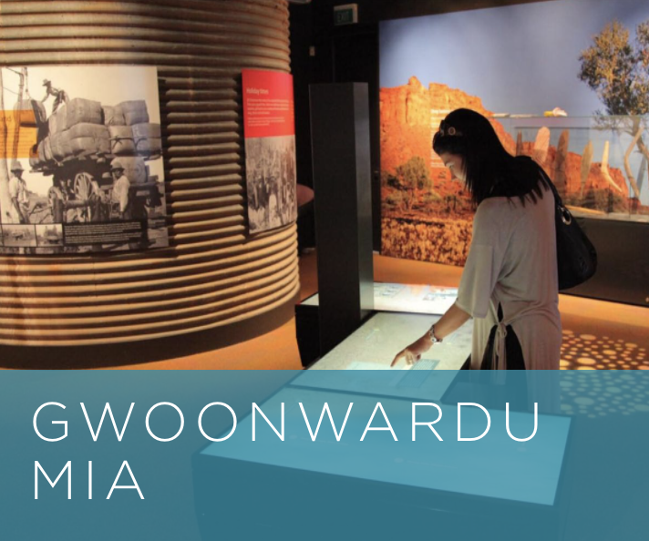
Carnarvon’s traditional owners are the Aboriginal Inggarda, Baiyunga, Thalanji, Malgana and Thudgarri people. They named this area long ago, Kuwinywardu (Kow-win-wordo), meaning ‘neck of water’. Aboriginal people associating with the Carnarvon area typically associate as being Yamatji. Yamatji is a name commonly used by Aboriginal people in the Murchison and Gascoyne regions of Western Australia to refer to themselves, and sometimes also to Aboriginal people generally, when speaking English. The word comes from the Wajarri language where it has the meaning ‘man’ or ‘human being’.
GASCOYNE RIVER
The first European sighting of the Gascoyne River was in 1839 by the British explorer Lieutenant Grey. The Lieutenant was aboard the whaling vessel, the “Russell”, and landed on the mainland (present day Carnarvon) to explore the area. He named the river “Gascoyne” after his naval friend, Captain Gascoyne, and then trekked up the dry riverbed, discovering a pool of freshwater. On his return, after a near fatal journey, Grey noted that the area around the mouth of the Gascoyne River was good for agricultural development.
The Gascoyne is known as an upside-down river, because it flows for about 120 days of the year, but the rest of the year, it is a dry riverbed with water flowing below it, draining out into the ocean past the river mouth. Essentially it is a large water storage system under the desert. The region has a moderate arid tropical climate and is quite warm all year round, with winter temperatures only in the low 20’s and summer temps hitting exceeding 40 degrees celsius. The rainfall is low and normally most of it comes when the cyclones hit the north of Australia.
VISITING CARNARVON AND WANT TO LEARN MORE ABOUT OUR HISTORY?
The Carnarvon Library and Art Gallery has a Local History Collection which includes books and oral history interviews, local newspapers, genealogical references and microfilm. The collection is focused predominantly on the Gascoyne Region. Some of the Collection is listed on the Library Catalogue.
While many of the items have restricted access, Library staff are more than happy to assist with customer enquiries.
In our Local History Room, access to digital microfilm, free internet searching and online access to the popular Ancestry database are available for use during Library opening hours by arrangement at the front counter.
If you are planning to visit the library to access local history archives, contact staff ahead of your planned visit on (08) 9941 3727 as they may be able to assist with locating specific items or materials. Please ensure you have booked an appointment with staff ahead of your visit.
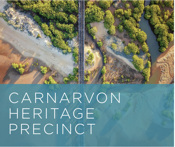
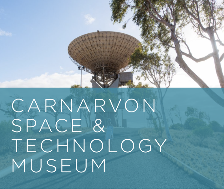
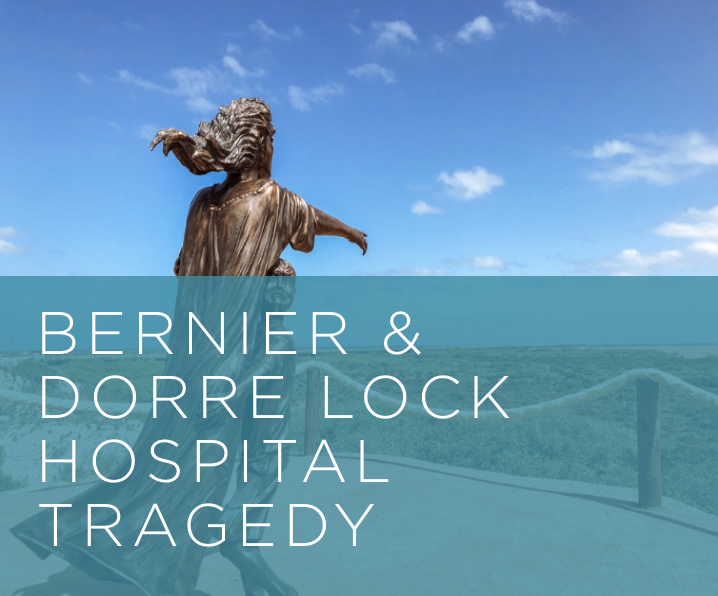
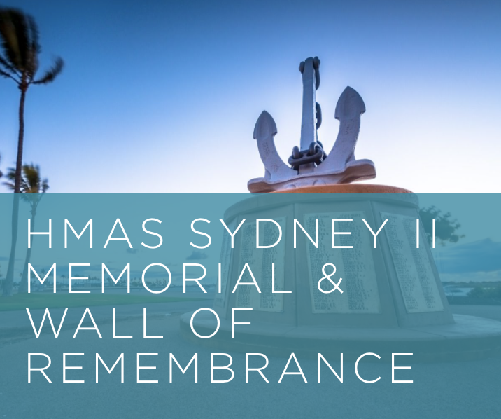
DISCOVER CARNARVON’S HISTORY & HERITAGE ATTRACTIONS

ADDRESS 21 Robinson St, Carnarvon, WA 6701
PHONE (08) 9941 1146
EMAIL info@carnarvon.org.au
The above information was sourced from www.carnarvon.org.au